
Mapping location editor for web applications
Add points, lines, & polygons, and annotate in a few clicks.
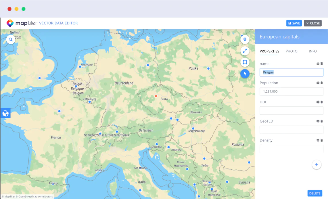
Visual map builder
Create GIS data using a visual web interface. Map locations using points, lines, & polygons. Add properties for each mapped feature.
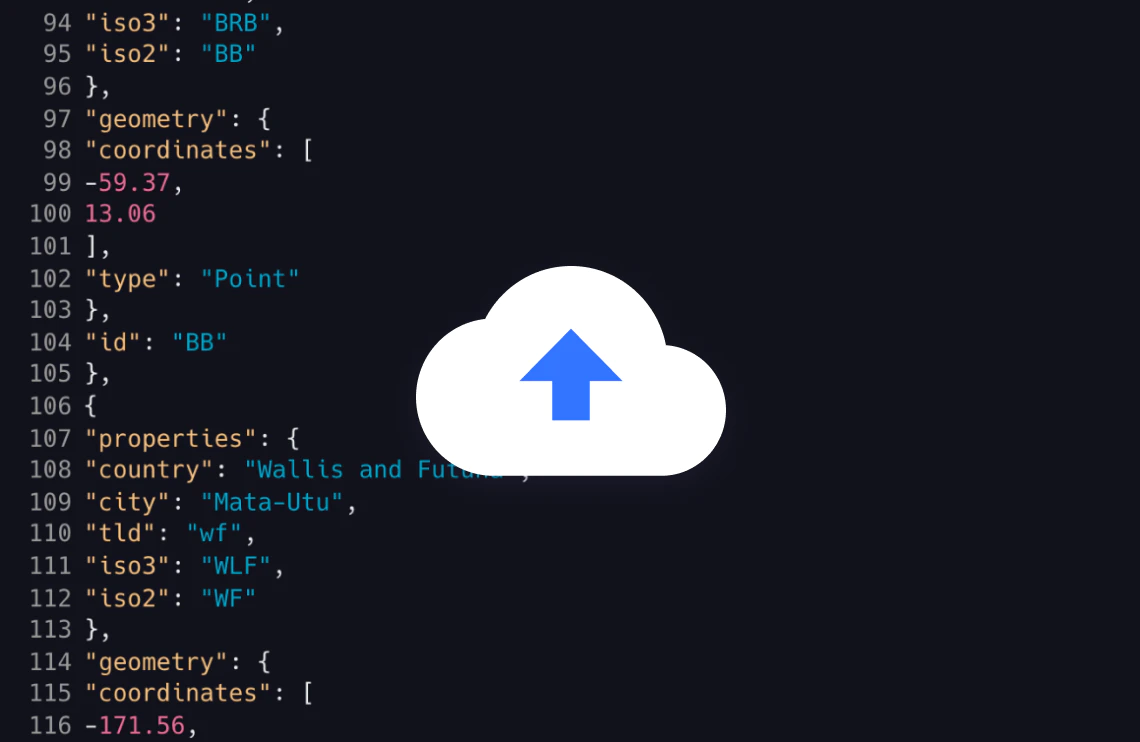
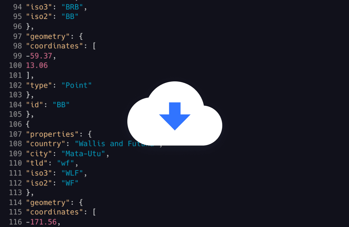
Upload data to location mapper
Upload vector data in .geojson, .gpkg, .gpx, .kml, .shp, or .zip shapefile format to the reliable global infrastructure.
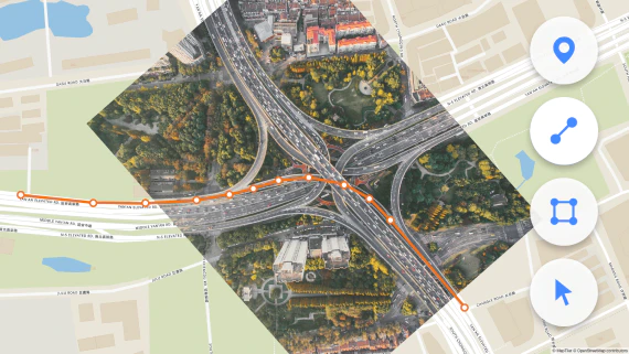
Custom mapping
Use our ortophoto for digitazing map. You can also load own map via WMTS, as a TileJSON, or use uploaded datasets to draw map featues.

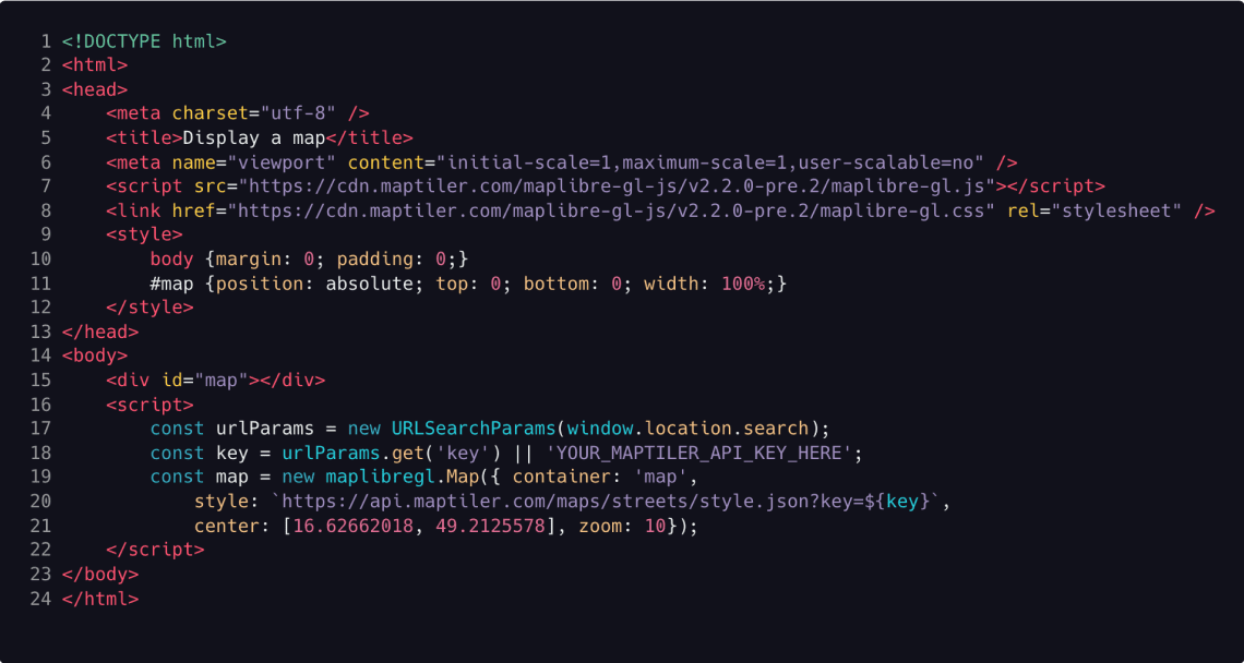
Publish maps online using popular JavaScrip libraries
Get public GeoJSON API endpoint for your apps using MapLibre GL JS, OpenLayers, or Leaflet. Data are hosted on reliable infrastructure that can handle huge traffic.
Download datasets for desktop GIS
Export geometry as a GeoJSON file for use in desktop GIS software like ArcGIS and QGIS.
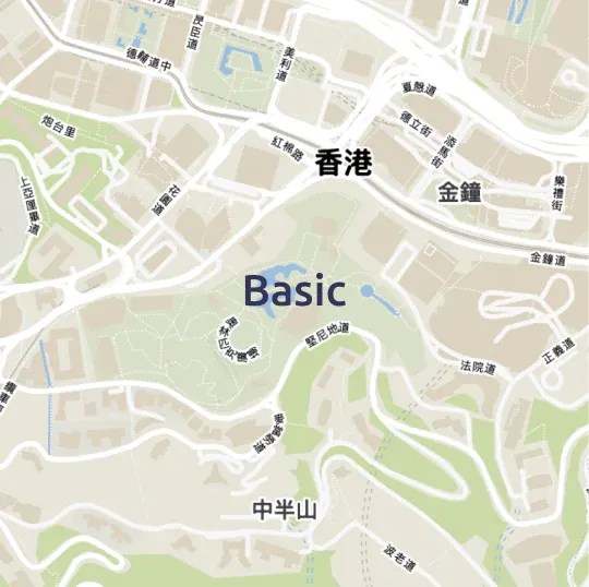
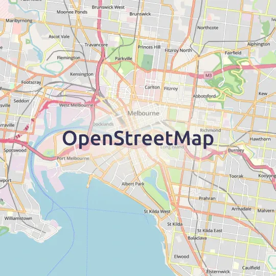
Ready to use base maps
Street and satellite maps of the entire world


Try MapTiler Cloud now!
Free account for personal use and evaluation.
API documentation for developers.